Mastering Geospatial Analysis in QGIS & Google Earth Engine for Environmental Applications
About Course
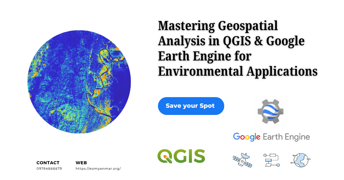
Mastering Geospatial Analysis in QGIS & Google Earth Engine for Environmental Applications is an advanced, hands-on training program designed for environmental scientists, geologists, and GIS professionals. This course bridges the gap between desktop map-making and cloud-based environmental problem-solving. Participants will master advanced workflows in QGIS and leverage the massive computational power of Google Earth Engine to monitor environmental changes, model disaster risks, and analyze topographical features. Utilizing open-source Earth observation data (Sentinel, Landsat), students will learn to conduct rigorous spatial analyses, process heavy time-series datasets in the cloud, and finalize professional cartographic deliverables in QGIS.
🗓️ Classes Begin: 15.6.2026
🔗 Register Now: https://eomyanmar.org/registration-form/
Course Content
Module 1 : Fundamentals of GIS
Module 2 : GIS Mapping with QGIS
Module 3 : GIS for Environmental Applications
Section 4 : Environmental Remote Sensing with GEE
Module 5: Terrain Analysis & Hydrological Modeling
Module 6: River Morphology Change Detection
Module 7: Air Quality Monitoring using Satellite Remote Sensing
Module 8: Machine Learning-Based Land Use and Land Cover Mapping and Change Detection
Student Ratings & Reviews
