Python for Geospatial Analysis & Remote Sensing
About Course
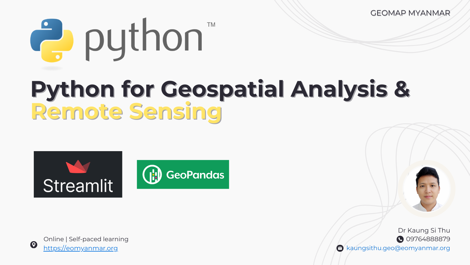
Python for Geospatial Analysis & Remote Sensing သင်တန်းသည် Python programming နှင့် GIS / Remote Sensing ကို ပေါင်းစပ်အသုံးပြု၍ Geospatial data များကို ခွဲခြမ်းစိတ်ဖြာခြင်း၊ မြေပုံများ ဖန်တီးခြင်း နှင့် Web-based geospatial applications များ တည်ဆောက်နိုင်ရန် ရည်ရွယ်သည့် သင်တန်းဖြစ်ပါသည်။ သင်တန်းတွင် Python အခြေခံမှ စတင်ကာ Geospatial libraries များဖြစ်သော GeoPandas, Rasterio, Matplotlib နှင့် Folium တို့ကို အသုံးပြုပြီး Shapefile, GeoJSON, GeoTIFF ကဲ့သို့သော GIS / Remote Sensing data များကို စီမံခန့်ခွဲခြင်းနှင့် spatial analysis ပြုလုပ်နည်းများကို လေ့လာရပါမည်။ ထို့အပြင် Satellite image များကို အသုံးပြုသည့် Remote Sensing analysis များ၊ NDVI နှင့် NDWI ကဲ့သို့သော spectral indices တွက်ချက်ခြင်း၊ DEM data များကို အသုံးပြု၍ terrain analysis ပြုလုပ်ခြင်းတို့ကိုလည်း လေ့လာရပါမည်။
သင်တန်း၏ နောက်ပိုင်းအပိုင်းတွင် Interactive Web Map များ ဖန်တီးခြင်း၊ Google Earth Engine Python API အသုံးပြု၍ cloud-based satellite data များကို ခွဲခြမ်းစိတ်ဖြာခြင်းနှင့် Streamlit framework ကို အသုံးပြုကာ Geospatial Web Applications များ တည်ဆောက်နည်းများကို လေ့လာနိုင်မည်ဖြစ်ပါသည်။ သင်တန်းကို Google Colab environment တွင် လေ့လာသင်ယူမည်ဖြစ်ပြီး GIS နှင့် Remote Sensing data များကို Python ဖြင့် ကိုယ်တိုင် analysis ပြုလုပ်နိုင်ရန် လက်တွေ့လေ့ကျင့်ခန်းများ ပါဝင်ပါသည်။
ဤသင်တန်းသည် GIS / Remote Sensing ဖြင့် သုတေသနပြုလုပ်နေသူများ၊ Data analysis နှင့် mapping ကို Python ဖြင့် လုပ်ဆောင်လိုသူများ၊ Web GIS နှင့် geospatial application development ပိုင်းသို့ တိုးတက်လိုသူများအတွက် အထူးသင့်တော်ပါသည်။ သင်တန်းပြီးဆုံးချိန်တွင် သင်တန်းသားများသည် geospatial data များကို Python ဖြင့် analysis ပြုလုပ်နိုင်ခြင်း၊ interactive maps ဖန်တီးနိုင်ခြင်းနှင့် geospatial web applications များ တည်ဆောက်နိုင်သည့် အရည်အချင်းများ ရရှိမည်ဖြစ်ပါသည်။
Course Content
Lesson 1 : Introduction to Python
-
Introduction to Python
04:03 -
Install Python
05:10 -
Using Google Collab
04:52 -
Variables
04:57 -
Lab 1 – Assignment 1 – Variables
06:32
Lesson 2 : Data types and Data structures in Python
Lesson 3 : Conditional Statements, Loops and Functions
Lesson 4 : Vector Data Mapping and Visualization
Lesson 5 : Raster Data Processing and Visualization
Lesson 6 : Interactive Mapping
Lesson 7 : Cloud-Based Remote Sensing with the GEE Python API
Module 8 : Geospatial App Development & Deployment
Student Ratings & Reviews
